The History
Fort Bowie National Historic Site is located in southeastern Arizona and tells the story of the conflicts between the United States Army and the Chiricahua Apache people. Established in 1862 to protect a vital water source and control the movement of the Apache people, the fort became a site of significant battles and skirmishes. One of the most notable conflicts was the Battle of Apache Pass, which turned the tide in favor of the Army.
During the Apache Wars, which lasted from 1861 to 1886, Fort Bowie played a crucial role as a base of operations and supply depot for troops in the field. However, after the wars ended, the fort was abandoned and fell into disrepair. Today, the site preserves the remains of the fort and offers visitors a glimpse into the history and struggles of the American frontier.
Fort Bowie National Historic Site is a significant landmark commemorating the American frontier’s history. Visitors can explore the remains of the fort, hike the trails, and learn about the people who lived and fought there. The site serves as a testament to the bravery and resilience of the Army and the Apache people during a significant historical change in the United States.
Hiking at Fort Bowie
A little under a two-hour drive from Tucson, Arizona, nestled in the Chiricahua Mountains and very close to Chiricahua National Monument. This beautiful site provides a wonderous hike back through history as you tour the visitor center and the ruins of the old fort encampment. What sets this site apart from many other National Park and Historic Site units is that it requires you to hike to the visitor center. The 1.5-mile one-way trail is well maintained but not a paved level path. The NPS Rangers suggested that one must be able to hike a minimum of three miles safely. Take water, know the weather, and be careful of desert temperatures. Additionally, follow LNT principles.
Know Before You Go
- Region: Southwest United States
- Location: 3500 Apache Pass Rd, Bowie, AZ 85605 Between Tucson, Arizona, Chiricahua National Monument.
- The road from the highway to the parking lot is not paved and is a dirt road. An average car or SUV will make it; however, just be careful and go slow, watching for rocks and holes. Consider road conditions as lower clearance 2-wheel drive vehicles potentially could get stuck.
- Coordinates: 35.11757984304067, -111.09648062915922
- Costs: No Fees or Permits are Required
- Schedule: Open During Daylight Hours
- Attraction Type: National Historic Site
- Additional Resources: Fort Bowie NPS Website
My Visit
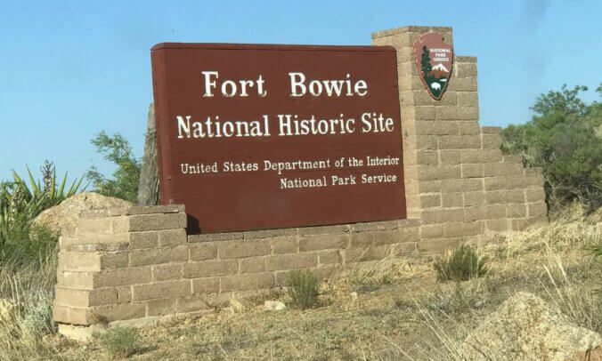
During a trip from Tucson to Chiricahua National Monument, I stumbled upon Fort Bowie National Historic Site. I saw a brown sign on the way and decided to turn onto a dirt road that led me through beautiful scenery away from the highway. The site had a bathroom structure, a welcome sign, and a map that provided paper maps for hikers.
As I was getting ready to hit the trail, I met a lady piloting a drone. She was on assignment from Arizona Highways magazine and was working on an article series about lesser-known places in the state for hiking and such. We exchanged contact information, and I even posed for a few photos of me hiking on the trail. I never did hear back from her, but it was a fun random encounter non the less.
The hike was enjoyable, with many places to stop and learn about the area, the people that had lived there, and the history of the two forts. Although the visitor center was closed due to construction, the ruins of several buildings and interactive learning areas were among my favorite locations. With the sun soon to set, I headed back to the trailhead and parking lot, glad I had made an impromptu stop at Fort Bowie National Historic Site. It’s a hidden gem that I hope you get the chance to visit if you’re ever in the area.
Photos from my visit.


